GBIF (Global Biodiversity Information Facility) is, by most measures, the most important open-access biodiversity database in existence. Researchers across ecology, conservation biology, macroevolution, epidemiology, and climate science rely on it routinely. This article gives a working researcher a clear-eyed picture of what GBIF actually is, what it has genuinely enabled, and where its limitations are severe enough to affect research conclusions if ignored.
The core thesis is worth stating up front, because both halves of it matter. Global Biodiversity Information Facility (GBIF) is one of the most significant infrastructure achievements in the history of ecology, but it has genuine, well-documented limitations that a researcher should understand before drawing conclusions from the data.
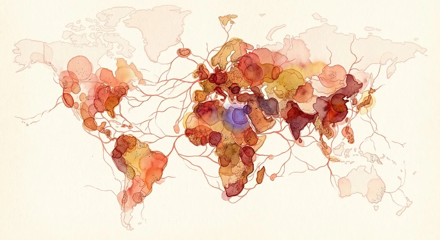
No platform has transformed the biodiversity landscape more than GBIF. Since its establishment in 2001, GBIF has grown into the world’s largest open-access biodiversity database, aggregating approximately 2.8 billion occurrence records representing nearly 10 million species from more than 1,600 publishing institutions across 197 countries. It has become a foundational infrastructure for ecology, conservation biology, macroevolution, epidemiology, and environmental policy. At the same time, the data is not a random sample of life on Earth. It is a historical and sociological artefact: concentrated in the Global North, biased toward charismatic and easily observed taxa, temporally uneven, and dependent on taxonomic backbone decisions that reasonable scientists disagree about. Researchers who treat GBIF data as a neutral substrate for analysis without accounting for these biases have published findings that do not survive scrutiny.
The goal here is not to undermine confidence in GBIF. It is to build the kind of calibrated confidence that produces better science.
What Is GBIF?
The Global Biodiversity Information Facility (GBIF) was created to solve a problem that had persisted for decades: although biodiversity data existed, it remained scattered across thousands of independent institutions.
Before GBIF, researchers studying the global distribution of a taxonomic group often contacted museums, herbaria, government agencies, and research stations individually. Each institution stored data in different formats, followed different taxonomic conventions, and maintained varying levels of digitization. Obtaining occurrence records for even moderately sized studies could take months, while global analyses were largely impractical. Recognizing this as an international scientific infrastructure challenge, the OECD Megascience Forum recommended creating a coordinated biodiversity information network in 1999. Two years later, GBIF was formally established as an intergovernmental initiative headquartered in Copenhagen.
Its mission was never to build a single centralized database. Instead, GBIF was designed to create the standards, technical infrastructure, and governance required to connect biodiversity data held by independent organizations worldwide while allowing those organizations to retain ownership of their datasets. That architectural decision remains one of GBIF’s greatest strengths.
The Problem GBIF Was Built to Solve
Natural history museums contain specimens collected over centuries. Universities maintain ecological survey datasets. Government agencies monitor protected areas. Citizen science platforms receive millions of wildlife observations each year.
Individually, these datasets are valuable. But collectively, they represent one of humanity’s richest scientific resources. The difficulty was interoperability: different organizations recorded species names differently, stored geographic coordinates in incompatible formats, used inconsistent metadata standards, and frequently lacked mechanisms for sharing data publicly. Without common standards, biodiversity data remained fragmented.
GBIF addressed this fragmentation by building infrastructure rather than replacing existing repositories.
Instead of asking institutions to surrender ownership of their collections, GBIF provided a framework through which they could publish standardized biodiversity records while continuing to curate their own databases. This led to the FAIR (Findable, Accessible, Interoperable, and Reusable) initiative.
How GBIF Works: A Federated Architecture
GBIF is a federated system, not a centralized repository. Museums, universities, citizen science platforms, and government agencies maintain their own data and publish it to GBIF through standardized protocols — the Darwin Core standard and the GBIF Integrated Publishing Toolkit. GBIF harvests and indexes this data, applies a unified taxonomic backbone, geocodes records where needed, and makes the aggregated dataset available through a web portal, an API, and bulk download. The originating institution retains ownership while GBIF acts as the delivery layer.
The taxonomic backbone is GBIF’s own synthesis of accepted names drawn from the Catalogue of Life, ITIS, and other authoritative checklists. When a dataset uses a synonym or an outdated name, GBIF maps it to the accepted name in its backbone — a critical function that eventually introduces its own class of errors, discussed below.
On licensing: all GBIF data is published under Creative Commons terms (CC0, CC-BY, or CC-BY-NC). The shift toward CC0 and CC-BY as default norms has meaningfully increased the data’s reusability in large-scale analyses.
What GBIF Contains: Data Types
- Preserved specimens (~40%): Museum and herbarium collections.
- Human observations (~45%): Citizen science platforms like iNaturalist and eBird.
- Machine observations (under 5%): Camera traps and acoustic monitors.
- Living specimens (under 3%): Zoos, aquaria, and botanical gardens.
- Literature occurrences (under 5%): Mined from published papers.
- Material samples: Tissue and DNA banks, emerging.
Each type carries distinct biases. While museum specimens are taxonomically precise, they are temporally skewed. Citizen science records are modern and broad but vary in identification quality.
These additions reflect GBIF’s gradual transition from a platform focused solely on occurrence points toward a knowledge infrastructure with richer biodiversity data, capable of integrating multiple evidence types.
What GBIF Has Contributed: The Scientific Case
Global biodiversity assessments at scale: GBIF data underpins the Living Planet Index, IPBES assessments, and global amphibian decline studies. These analyses quantify biodiversity loss trends at scales impossible before GBIF.
Species distribution modeling and climate change research: GBIF records are the backbone of species distribution models (SDMs). Global projections of range shifts under climate scenarios rely on GBIF’s aggregated data, influencing WHO, FAO, and IPCC policy assessments.
Invasion biology and biosecurity: GBIF enables reconstruction of invasive species pathways. Agencies in Australia, New Zealand, and the EU use GBIF-derived data for biosecurity risk assessments.
Macroevolution and biogeography: Studies on the latitudinal diversity gradient and Bergmann’s Rule have leveraged GBIF’s scale, making once-prohibitive analyses routine.
Enabling reproducible, open science: GBIF assigns DOIs to downloads, ensuring reproducibility. Tools like rgbif and pygbif integrate GBIF data seamlessly into workflows. This eliminates repetitive data management and allows biodiversity occurrence records to move seamlessly into statistical analyses, species distribution modelling, and visualization pipelines.
In effect, GBIF has become far more than a biodiversity database. It now functions as the backbone supporting an entire ecosystem of open biodiversity informatics.
GBIF and AI: What Is Changing
How AI is being applied within the GBIF ecosystem:
- Species identification: iNaturalist’s computer vision improves citizen science data.
- Automated cleaning: Tools like CoordinateCleaner flag errors.
- Text mining: Literature-derived records fill historical gaps.
- Predictive gap-filling: ML models predict occurrences in unsampled regions.
What AI cannot yet fix:
- Spatial collection gaps: No amount of AI post-processing corrects for data that was never collected. The tropical biodiversity gap is a collection gap, not a digitization gap. AI can model what is likely there, but models trained on biased data reproduce that bias.
- Taxonomic inconsistency: These are not data quality problems that AI can resolve. They are genuine scientific disagreements. An AI backbone alignment tool can apply a chosen taxonomy at scale, but the choice of taxonomy remains a scientific judgment.
- Unexplained data absence: This is not something AI can supply within the GBIF model. Generating reliable absence records for SDMs requires either structured survey designs, which are not occurrence records, or principled pseudo-absence approaches that researchers must apply deliberately.
How to Use GBIF Well: A Practical Guide for Researchers
Experienced biodiversity researchers rarely download GBIF data and begin analysis immediately.
Instead, they treat every dataset as requiring careful evaluation and cleaning. The following practices should become standard for any GBIF-based study.
Filter by coordinate uncertainty: Always filter to records with coordinate uncertainty below a threshold appropriate to your analysis resolution. For landscape-scale analyses, under 10 kilometres may be acceptable. For local habitat studies, a distance of 1 kilometre or less is needed. Applying the standard GBIF data quality flags, exclude records flagged for zero coordinates, coordinate mismatch with the stated country, coordinates at country centroids or biodiversity-institution locations (these are default values, not real locations), and zero or negative elevation in positive-elevation environments. Use the CoordinateCleaner R package or an equivalent tool for additional automated cleaning, and document your filtering steps and thresholds. This materially affects downstream results and needs to be reported for reproducibility.
Account for spatial bias: Do not treat GBIF data as a random sample. For SDMs, include a spatial bias layer — road density, human population, or target-group sampling effort as a covariate. Target-group background sampling can be used to account for non-random sampling. Also, report the spatial distribution of your retained records alongside your results, not just the total record count. A map of record density is more informative than a number. For analyses comparing regions, test whether your findings hold when restricting to regions with comparable sampling effort. If the pattern disappears, data density rather than ecology may be driving it.
Cite correctly: Always download from GBIF and cite the DOI of the specific download used in your analysis. “Data from GBIF” is not a citable source — that is the DOI of your download. Individual dataset DOIs can be cited for acknowledgment purposes, and if a single dataset was the primary source, cite that dataset’s publisher directly in addition to the GBIF download. Specify the download date, applied filters, and GBIF backbone version in your methods section. GBIF data changes over time: records are added, corrected, and occasionally removed. Therefore, a reproducible methods section has to capture the state of the data as it existed when you used it.
The Future of GBIF
Several developments are reshaping what GBIF-grounded research can do.
Environmental DNA: GBIF is developing standards for machine-readable occurrence data from environmental DNA — evidence of a species’ presence derived from DNA traces in soil, water, or air rather than physical observation. This greatly expands the species pool that can be monitored, especially for microbes, fungi, and aquatic organisms.
Real-time streams: The gap between observation and GBIF availability is also shrinking. iNaturalist records can appear in GBIF within 24 hours of verification, which changes what questions are answerable for monitoring applications like tracking invasive species fronts or responding to disease outbreaks in something closer to real time.
Cross-graph integration: This is another significant shift. GBIF node IDs are increasingly linked to identifiers in other scientific knowledge graphs. This includes the Open Tree of Life for phylogenetic context, the Monarch Initiative for gene-phenotype associations in model organisms, and trait databases like TRY for plant traits and COMBINE for vertebrate traits. The direction is toward a queryable network of graphs rather than isolated silos.
A new data model: Sometimes referred to as the GBIF data model evolution, this redesigns the core data model to support richer event-based data — structured surveys with effort data, community composition samples, and time series. Since the original Darwin Core standard, it is the most significant structural change and will expand what GBIF can represent beyond point occurrences.
Conclusion: Using GBIF With Open Eyes
GBIF has contributed remarkably to biodiversity research with its infrastructure, and it reflects the choices, resources, and blind spots of the people who built and maintain it. Only the ecologists, conservation biologists, and biodiversity informaticians who understand both its capabilities and its limits can use it most productively. The researcher needs to understand what 2.8 billion records from 1,600-plus institutions across 197 countries can support, and where the gaps in that record run deep enough to change a conclusion.
The most important expected change to GBIF’s utility for researchers is not record volume. It is richer records — which change what GBIF-grounded analysis can answer. That means effort data, sampling design metadata, and links to the broader knowledge graph of biology.
Call to Action
As biodiversity datasets become increasingly interconnected, researchers need tools that go beyond data retrieval to support discovery, integration, and analysis. Platforms like Axy are extending GBIF’s capabilities by connecting biodiversity occurrence data with broader scientific knowledge graphs, helping researchers explore relationships across publications, taxa, traits, and biological concepts. By combining GBIF’s open biodiversity infrastructure with AI-assisted knowledge discovery, scientists can move from collecting occurrence records to generating deeper, evidence-driven ecological insights.
If you want to help build the shared, connected map of science rather than just use another tool, apply to join below.